By Taylor Gipe, October 9, 2014 at 2:00 PM
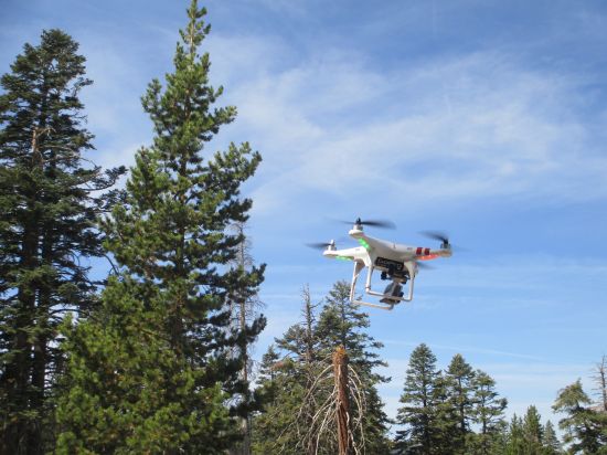
With the recent implementation of an Unmanned Aerial Vehicle (UAV), the Nevada Land Trust is soaring into new horizons! The concept of UAVs is not a new one, and has actually been around for over a century. Many people are familiar with UAV use as military “drones,” or even as a potential delivery service for Amazon.com. However, the world has made great technological advances since the inception of UAVs, and today’s applications go way beyond military or retail purposes!
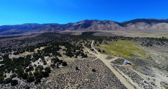
NLT is on the cutting edge of conservation, using this tool to improve documentation techniques in a non-invasive way. Some of our stewardship applications may include the monitoring of natural resources, trespassing, off-road vehicle damage, hazards, habitat threats, invasive weed infestations, and restoration progress. It also will allow us to better document the conservation values of potential projects with viewpoints currently unavailable to us.
The list of applications for UAVs is virtually endless, with current global applications monitoring wildlife poaching, assisting marine conservation, and documenting illegal logging and deforestation. In addition, UAVs are being used for a wide variety of research topics, such as wildfire aftermath, forest health, orangutan nest-mapping, and seabird surveying, just to name a few.
With a new birds-eye view, NLT can better evaluate and protect the lands we all care so dearly for and approach land conservation from another perspective.
